| Thu | 9am – 5:30pm |
| Fri | 9am – 7pm |
| Sat | 9am – 5pm |
| Sun | 10am – 5pm |
| Mon | 9am – 5:30pm |
| Tue | 9am – 5:30pm |
| Wed | 9am – 5:30pm |
Ask our staff anything about our shop or products, or share your feedback.

PublishedHema Maps, March 2024 |
ISBN9781922668875 |
FormatSoftcover, 312 pages |
Dimensions29cm × 23cm |
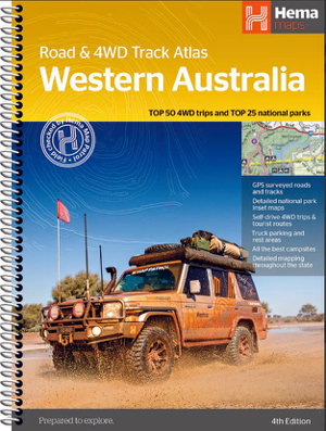
This comprehensive guide is your key to planning and navigating an unforgettable jounrey through WA, offering state-wide atlas mapping. Discover incredible adventures with the top 50 4WD trips, each accompanied by track grading, distances, contact information and an atlas reference.
Immerse yourself in the beauty of Western Australia's top 25 national parks, where you'll find detailed information including camping areas, activities, inset maps and unique features that make each park special. This atlas offers insights into private camping and rest areas, caravan parks and dump points. Includes a list of accredited visitor centres within Western Australia.

