| Wed | 9am – 5:30pm |
| Thu | 9am – 5:30pm |
| Fri | 9am – 7pm |
| Sat | 9am – 5pm |
| Sun | 10am – 5pm |
| Mon | 9am – 5:30pm |
| Tue | 9am – 5:30pm |
Ask our staff anything about our shop or products, or share your feedback.
PublishedHardie Grant Explore, November 2023 |
ISBN9780731933242 |
FormatSheet Map / Folded, 1 pages |
Dimensions92cm × 69cm |
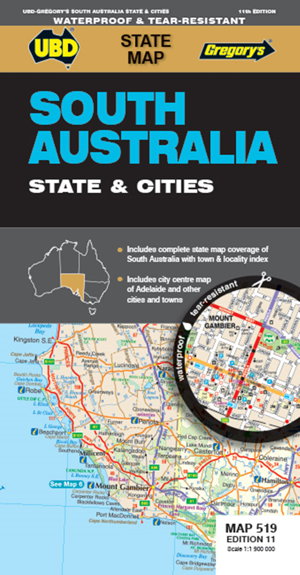
The latest edition of the South Australia State and Cities map is an essential tool when travelling in South Australia.
It includes a state map and index to towns and localities at a scale of 1 : 1 900 000 and state touring information. In addition to this, there is a map covering 150km around Adelaide including the Yorke & Fleurieu Peninsulas and Kangaroo Island at a scale of 1 : 100 000 and street level mapping for Adelaide City and Coober Pedy, Hahndorf, Kangaroo Island, Murray Bridge, Nuriootpa, Renmark and Victor Harbor.

