| Sun | 12pm – 4pm |
| Mon | 9am – 5:30pm |
| Tue | 9am – 5:30pm |
| Wed | 9am – 5:30pm |
| Thu | 9am – 5:30pm |
| Fri | 9am – 5:30pm |
| Sat | 10am – 5pm |
Ask our staff anything about our shop or products, or share your feedback.
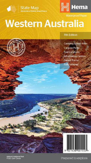
A state touring map of Western Australia featuring camping and rest areas, caravan parks, fuel locations, information centres and desert tracks. On the reverse side of the maps are the CBD and through road maps of Perth, plus inset maps of Leeuwin-Naturaliste National Park, Cape Range National Park, Nambung National Park, Francois Peron National Park, Purnululu National Park, Walpole-Nornalup National Park and Karijini National Park. Also included are national parks within Western Australia.


